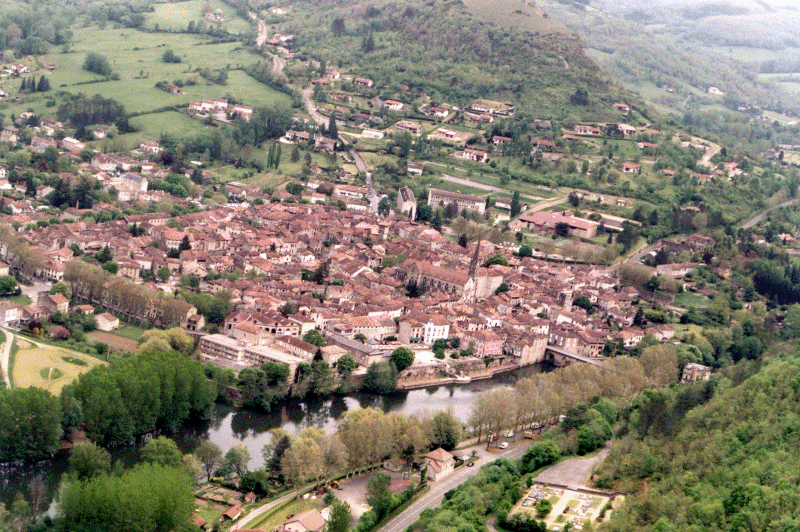
Another
trip which is about 1 1/2 hour. Saint Antonin is located at the end of
the "Gorges de l'Aveyron". Nice place for hicking, MTB riding, hang-gliding,
soaring etc...
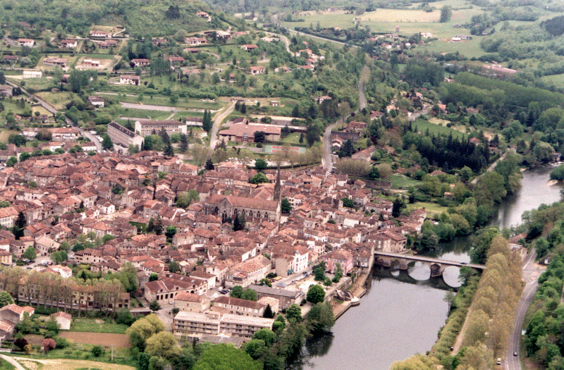
Another
trip which is about 1 1/2 hour. Saint Antonin is located at the end of
the "Gorges de l'Aveyron". Nice place for hicking, MTB riding, hang-gliding,
soaring etc...
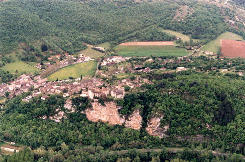
You can check the map with the path drawn in blue. Fly it the way you like it. Personally, I enjoyed flying straight to Saint Antonin and discover it from the top of the surrounding hill at the last moment. Great sensations when falling in the "canyon" ;-)
Starting point is located at La Ramiere. Weather was cloudy at the beginning, then little rainy. So pictures are somewhat poor qualities.